Builders in Lake Macquarie: the local rules
Building in Lake Macquarie City runs under the Lake Macquarie LEP 2014 and the Lake Macquarie DCP 2014, on top of the state's codes. Four subsidence districts reach into the area we work in: Lake Macquarie, the Lake Macquarie No 1 Extension, West Lake and Swansea North Entrance. None of the ten lake suburbs we checked has a heritage conservation area, so heritage here comes down to individual listed items, while water and old mines decide much more.
What building in Lake Macquarie City involves
Most of the jobs we price here start with the same four questions, and the answers change across the council area more than people expect.
Subsidence. Where a lot sits inside a mine subsidence district, Subsidence Advisory NSW has to approve building work before it starts. Each lot carries a surface development guideline. On the lower-risk ones a complying design can be signed off locally by council or a certifier; the pothole and merit-assessed guidelines, 1, 1A and 7, along with 4 and 5, go to the agency itself. Toronto is the odd one out, mapped mostly Guideline 6 for ground that future mining is likely to reach, and Speers Point is the other extreme, outside every district despite a colliery that opened in 1843.
Bush. The fire mapping here is heavy. Most of Valentine is mapped, more than half of Redhead and Belmont, about half of Charlestown and Caves Beach. On mapped land a bushfire assessment gives the Bushfire Attack Level, and the house, addition or deck is built to it.
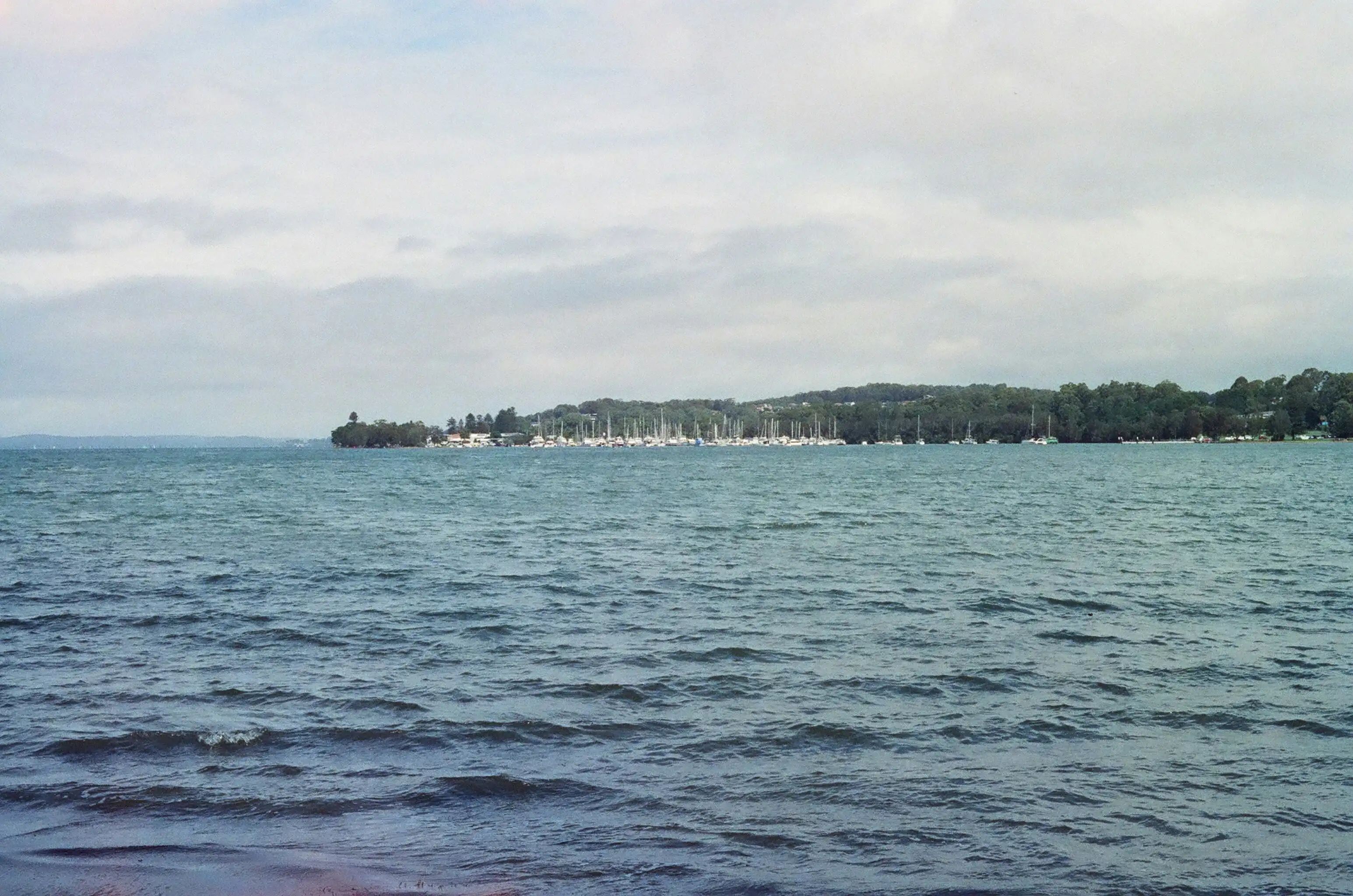
The lake and the ocean. Lake Macquarie has a shore on one side and surf on the other, and council plans for each. Lake foreshore lots come under its waterway flooding policy. North Creek has its own flood study, Teralba to Toronto has a climate resilience plan, Pelican through to Caves Beach shares a local adaptation plan, and the Redhead dunes have a management plan of their own. The state's coastal maps add Coastal Use and Coastal Environment Areas, and Belmont has coastal wetlands.
The council's plan. Lake Macquarie DCP 2014 holds the detailed controls, and we read the parts that apply to your lot rather than working from a general rule.
How the suburbs differ
- Warners Bay: mostly clear of the subsidence district, so a new house there is a question of floor height against the creek and the lake.
- Charlestown: the largest suburb in the city and wholly inside a subsidence district, where a renovation is sorted into exempt work and work that needs approval.
- Speers Point: no subsidence district, about 20 heritage items and the legacy of the Cockle Creek smelter, so soil sampling leads any granny flat.
- Swansea: the town at the lake entrance, where additions are drawn to council's flood information and a south-west corner of mixed guidelines.
- Caves Beach: the ocean side, where outdoor structures answer to salt, wind and the bush buffer.
Beyond those five, Redhead is a colliery village mapped mostly Guideline 2, Belmont sits on sand between lake and sea, Valentine's design is driven by the bush, and Eleebana is a 1976 estate on land once described as poor and steep, essentially outside the districts. Their questions are answered the same way, address by address.
The crew and where to read next
As home builders in Lake Macquarie we run the same crew as in Newcastle: our own carpenters frame, fit out and finish, and licensed specialists we coordinate handle the electrical, plumbing, drainage and gas. One site lead runs each job from start to finish. Our new builds, extensions and granny flats pages carry the price ranges and the stages, and the Newcastle page covers the city side.