NWC: close the demo and go back to Newcastle Web Co

Demo by Newcastle Web Co. This is a demo design and not a real business. Every design is one of one: when a business picks it, no one else gets it.

Demo, not a real business.

Lic. 000000C (demo)

Lic. 000000C (demo)

Builders in Speers Point

SpeersPoint

Builders in Speers Point get asked one thing before anything else: what's in the soil. Cockle Creek forms its boundary, and the Cockle Creek lead smelter worked from 1896 until September 2003, and the EPA counts the suburb's public school inside its lead abatement area. So when we price a granny flat here, the soil sample is booked before a floor plan exists.

Book a site visit in Speers PointGranny Flats

The first test on a Speers Point lot is a soil sample for lead, taken before the granny flat has a floor plan.

Builders in Speers Point: the local rules

Speers Point is bounded by Cockle Creek, Seventh Street, Fairfax Road and the lake. It was first subdivided in 1902 and sewered in 1945, and council's plan lists about 20 heritage items inside it: more than a dozen houses, 'The Knoll' and 'Shangrila' among them, plus the former Lake Macquarie Council Chambers, Speers Point Garage, the Lakeview Street Theatre, and Speers Point Park with its shelter shed and German mortar.

Why the soil comes first

The Cockle Creek smelter ran for more than a century, from 1896 to 12 September 2003. The EPA's lead abatement area covers land it describes as potentially carrying lead from those works, and anyone developing land inside it is pointed to a standard remedial action plan. A granny flat moves a surprising amount of ground: the slab, the footing trenches, the trenches for water, sewer and power, and usually some levelling for the path. Every one of those turns soil over. So the samples are taken where the flat, its trenches and its path will go, and the result decides how that soil is handled before we commit to a design.

Which streets the area takes in, and the exact controls council applies to them, we confirm for each address rather than assume. A result that comes back clean is worth having too, because it goes in the file for whoever owns the property next.

A colliery in 1843, but no subsidence district

Lochend Colliery opened here in 1843, decades before the first subdivision, yet the state's subsidence maps leave Speers Point outside every district. Only the Lake Macquarie No 1 Extension runs along its boundary. On a lot inside the suburb, that leaves the flat free of the guideline limits that shape framing and footings in suburbs such as Charlestown, so the design can follow the yard and the budget.

What decides the approval route here

A granny flat in NSW can be up to 60 m², unless the council's plan allows more, and it can't be subdivided off and sold separately. Whether a certifier can approve it, or council has to, depends on the land, and Speers Point has two of the things that push a flat to council on parts of its map: heritage items and acid sulfate soils in Class 1 or 2. Lots inside the North Creek study area add a third question, because flood information can change the floor height and the route, and we confirm that with the certifier or council. Our granny flats page walks through the rest of the checklist and the price range.

On the foreshore, the lake levels in council's waterway flooding policy come into it as well, and a flat's floor is set to suit them. Part of Warners Bay shares the North Creek study with Speers Point, and the other lake suburbs, each with its own mix of maps, sit under Lake Macquarie.
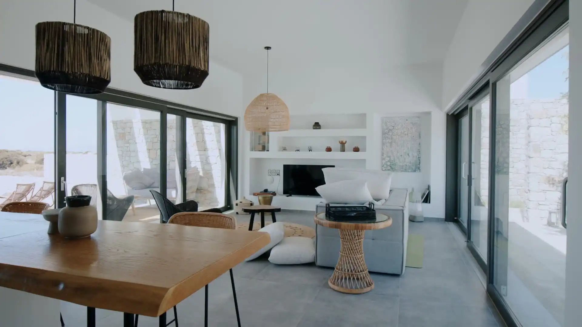
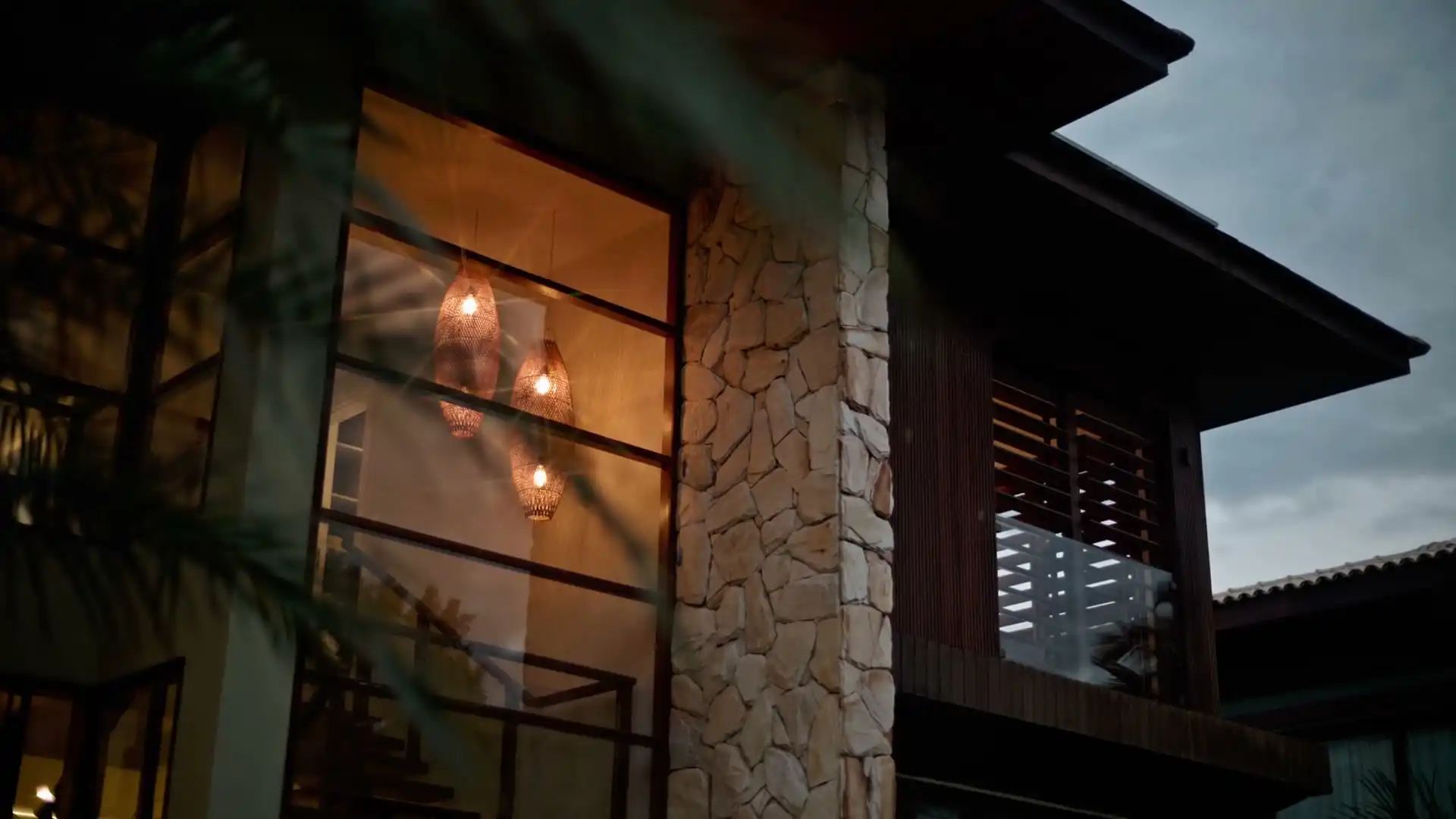
What we build in Speers Point

  • Granny flats behind a listed house

    More than a dozen Speers Point houses are heritage items, and a lot carrying one can't use complying development for a flat, so it goes to council with a design that keeps clear of the listed house.

  • Renovations of the front house

    Plenty of owners do the main house while the flat goes up out the back, and with about 20 listings in the suburb we check whether yours is one before a single wall is opened.

  • New builds near Cockle Creek

    A new house here takes the same soil sampling as a flat, and on lots inside the North Creek study area the flood information sets the slab level before the design is settled.

Send the address and a rough idea of where the flat would sit. We'll read the heritage, flood and acid sulfate layers for your lot and arrange the soil sample ahead of any sketch.

Book a site visit(02) 5550 4806

Building in Speers Point: your questions

Is my Speers Point lot inside the lead abatement area?

We don't answer that from memory. The EPA describes the area as land that may carry lead from the old smelter, and it says Speers Point's public school sits within it, but which streets it covers is something we confirm for your address with council before quoting. Inside the area or close to its edge, we sample the soil wherever the work will disturb it, because the answer changes what the slab, the trenches and the garden around the flat need.

What happens if the soil under our planned granny flat tests high for lead?

The flat can usually still go ahead, but the way the ground is handled changes. For anyone developing land there, the EPA refers to a standard remedial action plan, and council's conditions follow from the result. In practice that bears on what gets dug out, where it goes, and what ends up covered by the slab, paving or clean fill. We work it out with you before the price is fixed, so the soil is a line on the quote and not a surprise halfway through.

Speers Point had a colliery in 1843. Why isn't it in a mine subsidence district?

Lochend Colliery did open here in 1843, but districts are the areas the state has declared as carrying a potential subsidence risk to buildings, and the current maps leave Speers Point out. Only the Lake Macquarie No 1 Extension touches the suburb's boundary. Districts can change over time, so we check your lot against the map at the time of the job, and a property right on that edge gets a closer look before we plan the job without a subsidence step.

Our house is one of the listed houses in Speers Point. Can we still add a granny flat?

Usually, but not as complying development. With a listed item on the lot, the certifier route for a secondary dwelling is closed, so council decides the flat through a development application. It then looks at how the new building sits beside the listed house, so we design the flat to read as a separate, quieter building at the back, keep it clear of the house's main faces, and match its roof and materials to the setting rather than to the street's newest builds.

Does the North Creek flood study affect a granny flat in Speers Point?

It can. Part of the suburb is inside the area council's North Creek flood study covers, and lots on the lake foreshore fall under the levels in council's waterway flooding policy. Flood information can change both the flat's floor height and which approval route suits it, so where your planning certificate or council's Property Flooding Information Tool shows the lot is affected, we confirm the route with the certifier or council before design. We set the flat's floor only once those levels are known.

Acid sulfate soil is mapped in parts of Speers Point. Does that stop a granny flat?

No, but it can change the approval. Classes 1, 2, 3 and 5 are all mapped in the suburb. On Class 1 or 2 land the complying development route for a granny flat isn't available, so the flat becomes a development application. The class also tells us how careful the digging has to be. We read the class for your lot before we decide how deep the footings and service trenches go, because that's where the soil gets turned over.