Residential builders in Newcastle: the local rules
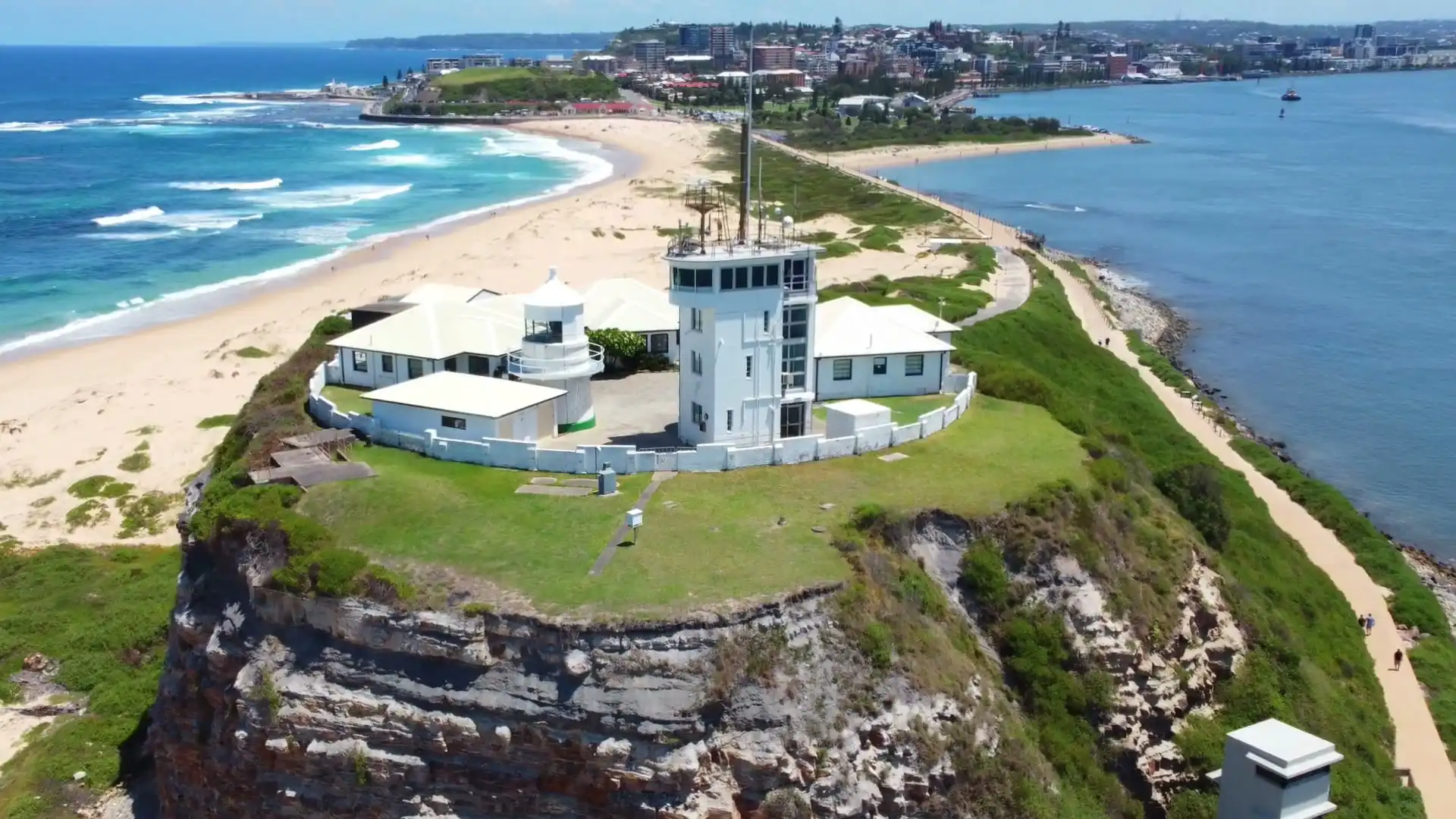
The City of Newcastle plans through the Newcastle LEP 2012 and the Newcastle DCP 2023, and much of it lies inside the Newcastle Mine Subsidence District, the current map gazetted on 1 July 2017. Bush comes into the city at Glenrock in the south and Blackbutt Reserve in the west, the ocean suburbs sit under the state's coastal maps, and council's flood planning covers three kinds of water: flash flooding, Hunter River floods and storm surge.
Mine subsidence across the city
The Newcastle Mine Subsidence District takes in some suburbs whole and others in part. Merewether, Merewether Heights and Bar Beach are inside it from one boundary to the other; Hamilton is split, with its southern part inside; and Mayfield has only a small corner in it. Each property in the district has a surface development guideline, and the guideline, not the suburb, sets the footings, the slab and sometimes the length of the house. Council's DCP asks for subsidence to be considered at preliminary design, and that's when we look it up.
Bush, coast and flood
Two big reserves bring bush fire mapping into the city. Glenrock runs along the south-western edge behind Merewether and the Heights, and Blackbutt Reserve sits on the western side of New Lambton. A lot on or near that mapping needs a Bushfire Attack Level before design. Along the ocean, the state's coastal use and coastal environment maps cover much of Bar Beach and the eastern side of Merewether. The state's flood planning map is empty for Newcastle, so council's mapping and its certificates are the source, and we never treat a suburb as clear of flooding because it isn't on a list.
Heritage conservation areas
Newcastle has more heritage controls than anywhere else we build. The DCP's nine conservation areas each have a character statement, and inside one an addition joined to the house goes to council. Heritage items, from terraces and cottages to whole flat blocks, close the faster approval routes altogether.
How the suburbs differ
- Merewether: our base, from the ocean baths back to Glenrock, and the suburb where one lot can collect the most separate rules.
- Merewether Heights: the hill above it, where the subsidence guideline decides whether a back deck needs the agency at all.
- Hamilton: five conservation areas meet here, on lots with barely a garage between them.
- Bar Beach: almost half parks and beaches, the rest flats and houses on high ground mapped as coastal use land.
- New Lambton: low on its eastern side, high and bush-edged towards Blackbutt, with a strong share of Guideline 1A lots.