NWC: close the demo and go back to Newcastle Web Co

Demo by Newcastle Web Co. This is a demo design and not a real business. Every design is one of one: when a business picks it, no one else gets it.

Demo, not a real business.

Lic. 000000C (demo)

Lic. 000000C (demo)

Builders in Warners Bay

WarnersBay

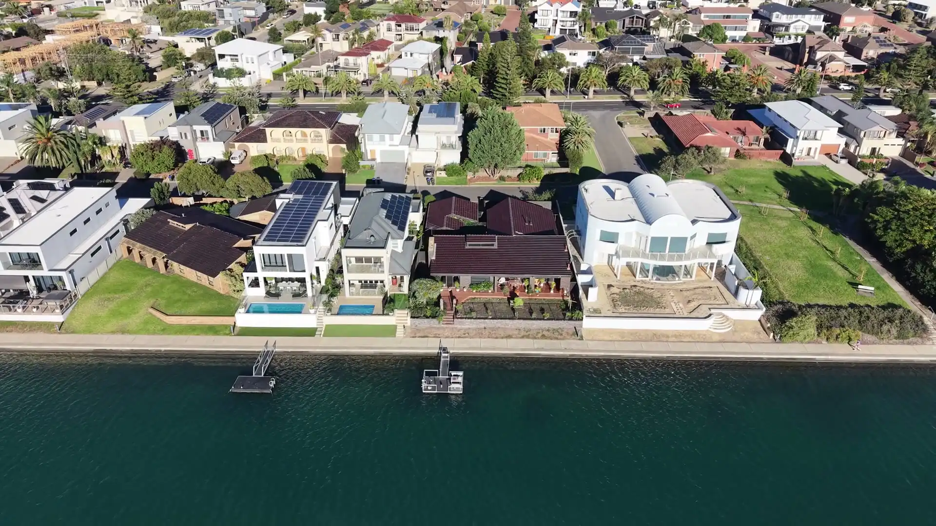
As builders in Warners Bay, we're mostly asked for a new house on land that already holds an old one, either on the foreshore or a few streets back from it. On these lots the slab height is settled by water, and the water comes from two places: the catchment council's North Creek flood study maps, and the lake itself in a big flood.

Book a site visit in Warners BayNew Builds

In Warners Bay the creek's flood study and the lake's flood levels fix the slab height long before the rooms are planned.

Builders in Warners Bay: the local rules

Warners Bay takes its name from Jonathan Warner and lies on the eastern side of the lake, at about 11 m above sea level. The foreshore shared path passes through on its way from Booragul to Green Point, and the Warners Bay Village shops sit close to the water. The items council lists here include House 'Ali's Palace', a cottage, the Mine Pithead and Coal Tramway to Lake, and the permian fossil insect horizon nature reserve.

Two kinds of water

Council's North Creek flood study, shared with Lakelands and part of Speers Point, models what happens when rain runs off the catchment. The lake is a separate question: on the foreshore, the habitable floor has to clear a level that council's waterway flooding policy works out from a big flood in the lake itself. A Warners Bay lot can sit under one of those, both, or neither. That's why we read the planning certificate and the Property Flooding Information Tool for your block before a house is drawn, and not for the street.

On a rebuild, the new floor often has to sit higher than the old one. That changes more than the slab. The front steps, the garage, the driveway and the path to the back door all start from a new height, so we draw them together from the first sketch rather than leaving the steps for the end.

The eastern quarter

About a quarter of the suburb, toward the east, is in the Lake Macquarie subsidence district. The council's listing of the Mine Pithead and Coal Tramway to Lake is a reminder of why. The lots there are mostly Guideline 8, which sets no design limits, and Guideline 2, which does: a house is articulated brick veneer on a reinforced slab or footings, with no basement, no stepped or suspended slab, and any retaining walls kept separate from the house. Much of the eastern side is also mapped bush fire prone, so a lot there can carry a subsidence guideline and a bushfire level at the same time.

Acid sulfate soils and the coast

Parts of the suburb carry acid sulfate mapping in classes 1, 3, 4 and 5. Class 1 takes land outside the complying development codes, so a new house there goes to council. The foreshore also falls in both of the state's coastal maps, and on those lots coastal matters are part of the development application.

The order on a rebuild

Demolition is its own approval, and it comes after an asbestos test, because a house built before 1990 may contain it. Then the new house is approved, by a certifier where the lot qualifies or by council where it doesn't. How a new home is designed, priced and built, stage by stage, is on our new builds page. For a suburb where the ground question is the soil, see Speers Point, and for the rest of the lake, go back to Lake Macquarie.
What we build in Warners Bay

  • New builds on the foreshore

    Lots on the water sit under council's lake flood levels and inside the coastal mapping, so a new house there is drawn to its floor height first and assessed for coastal matters as part of the application.

  • Granny flats beside the new house

    Owners rebuilding for two generations can put the main house and a granny flat on one complying development certificate when both go up together, provided the lot qualifies and isn't on excluded land.

  • Extensions in place of a rebuild

    Where the old house already sits clear of the flood levels, adding to it can make more sense than starting again, because the floor height question is answered by the house that's standing.

Send the address and a photo of the house that's there now. We'll read the creek study, the lake levels and the subsidence map for that block, then come out and take the levels of the old floor.

Book a site visit(02) 5550 4806

Building in Warners Bay: your questions

Is my Warners Bay lot covered by the North Creek flood study?

The study takes in Warners Bay along with Lakelands and part of Speers Point, and council has a Flood Risk Management Study and Plan built on it. Being inside the study area doesn't mean your lot floods; it means council has modelled it. Whether yours counts as a flood control lot is on its planning certificate, and council's Property Flooding Information Tool gives levels for it. We read both before a new house is designed, because they decide how high its floor goes.

Can we fill our Warners Bay block to lift the new house above the flood level?

Sometimes, but fill is the answer council looks at hardest. On a flood-affected lot, new work mustn't make flooding worse for the neighbours, and soil brought in to raise a whole block can push water onto the lots beside it. Under the Housing Code that's one of the standards a flood control lot has to meet. Lifting the house on deeper footings or a raised slab, and leaving the yard where it is, is often the cleaner route. Council and the engineer decide which is acceptable for your lot.

Only part of Warners Bay is in a subsidence district. How do we know which side we're on?

Put the address into the Spatial Viewer and switch on the Mine Subsidence District layer. About a quarter of the suburb, toward the east, is in the Lake Macquarie district, and those lots are mostly Guideline 8 or Guideline 2. Inside it, a new house needs subsidence approval before work starts, and on those two guidelines a complying design can be approved locally, without the agency. Outside it, that step drops away, and the flood and coastal maps do most of the deciding.

Our block in the east of Warners Bay is bush fire prone. Can a new house still be complying development?

Often, depending on the level. The Bushfire Attack Level comes out of a bushfire assessment of the vegetation, how close it is and the slope, and the house is built to that level under AS 3959. If the assessment comes back BAL-40 or flame zone, the state's Housing Code can't be used and council decides the house instead. Below those levels, the code can still apply where the lot meets its other tests. A large share of the eastern side is mapped, so we order the report early.

What does Class 1 acid sulfate soil mean for a new house in Warners Bay?

Mainly that the approval goes to council. Parts of Warners Bay are mapped Class 1, and land in Class 1 or 2 sits outside the state's complying development codes, so a new house there needs a development application. The other classes mapped in the suburb, 3, 4 and 5, still matter when the slab, footings, pool or drainage go deep. We read the class for your block before the footings are designed, because the soil that comes out of those trenches has to be handled properly.

Do the lake flood levels apply to our garage as well as the house?

The flood planning level in council's waterway flooding policy is set for habitable floors: the rooms you live and sleep in. A garage or carport isn't habitable, so it is generally treated differently, but how far below that level council will accept it on your lot is something we confirm before design rather than assume. It matters on a foreshore rebuild, because a garage left low and a house lifted high changes the driveway, the stairs and where the front door can sit.