NWC: close the demo and go back to Newcastle Web Co

Demo by Newcastle Web Co. This is a demo design and not a real business. Every design is one of one: when a business picks it, no one else gets it.

Demo, not a real business.

Lic. 000000C (demo)

Lic. 000000C (demo)

Builders in Merewether

Merewether

We're builders in Merewether, our own suburb, and here we open three maps before we open a tape measure. A mine guideline, a bush edge and a council floodway can each reach a different lot on the same street, and an extension has to answer whichever of them reach yours.

Book a site visit in MerewetherExtensions

One Merewether street can hand a single extension to the mine, the bush and the floodway at once.

Builders in Merewether: the local rules

Merewether runs from the ocean baths and Dixon Park Beach back to the Glenrock bushland, and every lot in between is part of the Newcastle Mine Subsidence District. The Glebe-area pits, Hillside Extended, Glebe End and Glebe Main, closed in August 1954, and Glenrock Colliery shut in March 1944. The houses went up over what those mines left, and that ground still sets the footings for any room we add.

Three maps on one street

Guideline 2 is the most common here, and on those lots council or a certifier can approve a compliant addition without sending it to Subsidence Advisory. The Guideline 1 and 7 parcels are a different job. Under Guideline 1 the old workings are shallow enough for a pothole to open, so the footings either follow the agency's prescribed design or an engineer's design that bridges a 5 m hole, and an officer looks at the steel before any concrete arrives. Guideline 7 covers unknown or severe conditions and old shafts, and every plan on it is weighed on its merits by the agency itself.

Glenrock State Conservation Area takes up much of the suburb's area, and the bush fire mapping that covers it reaches the houses along its edge. An extension on one of those lots starts with a bushfire assessment rather than a floor plan. The rating it gives decides the cladding, the windows and how the subfloor is closed in, and it decides who approves the work: a certifier can still issue a complying development certificate up to BAL-29, while the two highest ratings put the job in front of council.

The third map is council's. The Morgan-Selwyn floodway is one of the places City of Newcastle names in its flood list, and property floor levels in the city are set against the 1% AEP flood in 2050: a flood with a one in a hundred chance of happening in any year, as it's expected to look by then. A lot near the floodway can still take an addition, but where it goes and how high its floor sits are fixed by the certificate, not by where the yard looks flattest. On the eastern streets the coastal use mapping adds one more thing: council considers coastal matters in any development application there, so we prepare for that in the drawings.

On top of all that, a few lots carry heritage. The Ridge, the former Hillcrest Hospital, is listed at State level, and the ocean baths, the Beach Hotel, the Burwood Inn, the post office, the fire station and houses such as Brynhfryd, Blairgowrie and Trialba are items in the council's plan. A listed house can't use complying development at all. The two ways to add room, out the back or up, are set out on our home extensions page, and the wider city is on the residential builders in Newcastle page.
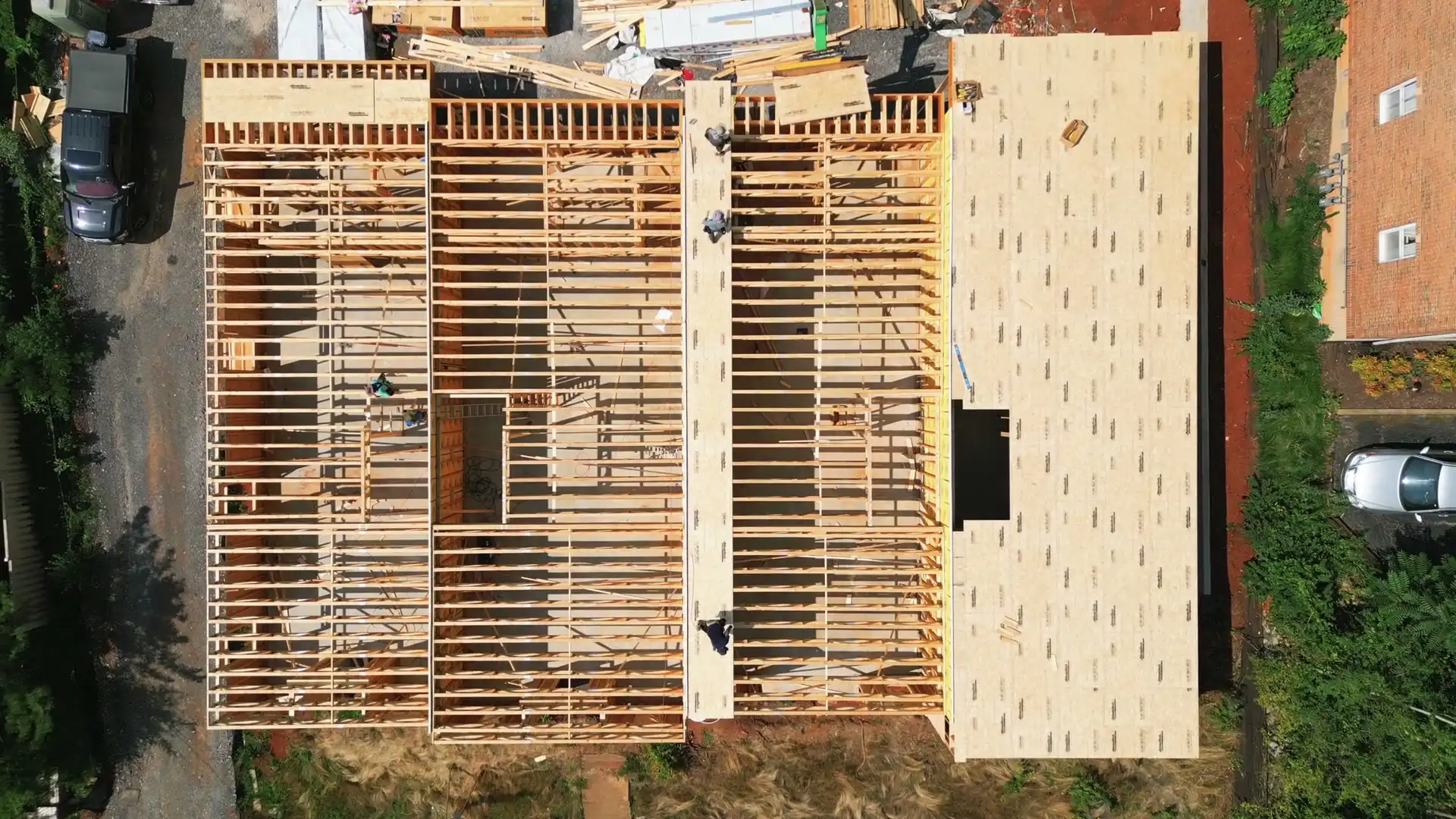
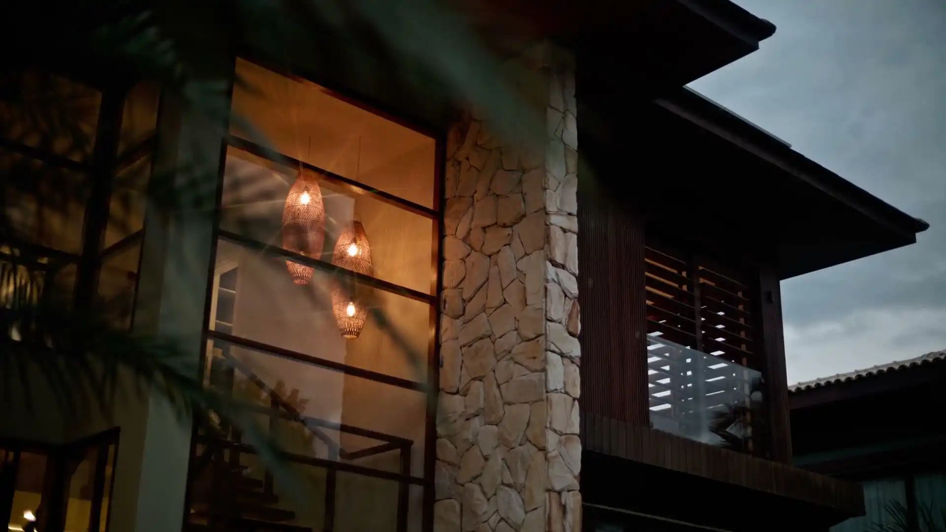
What we build in Merewether

  • Extensions near the floodway

    Close to the Morgan-Selwyn floodway, where the flood line falls across the yard decides which end of the lot can take new rooms, so the certificate is read before the sketch.

  • Renovations in the garden suburb streets

    In the slice of Merewether inside the Hamilton South Garden Suburb conservation area, the cottage front stays as it is and the work happens inside and at the rear, with council consent for anything joined to the house.

  • New builds on the Glenrock edge

    On the streets that back onto Glenrock, a new house is designed around its Bushfire Attack Level from the first sketch, because the rating reaches the windows, the eaves and the decking as well as the walls.

Send your Merewether address and a photo of the back of the house. We'll read the guideline, the bush fire layer and the floodway notes before we come round to measure.

Book a site visit(02) 5550 4806

Building in Merewether: your questions

Our Merewether lot is mapped Guideline 7. What does that mean for an extension?

Guideline 7 marks ground where the mine conditions are unknown or severe, or where there are shallow mine entries or shafts. Plans on a Guideline 7 lot can't be signed off by council or a certifier alone: Subsidence Advisory NSW assesses every one under its merit assessment policy. The agency publishes 40 calendar days for merit assessments, which is a target rather than a promise, so we lodge early and build the program around the answer.

Is our house near the Morgan-Selwyn floodway flood affected?

Nobody can tell that from the footpath, us included. Council names the Morgan-Selwyn floodway in its list of flood areas, and its controls apply to land that is partly or fully inside the probable maximum flood extent. Council issues a Flood Information Certificate for a single property, and that's the detail we work from. We ask for it before design, because the floor level and the part of the yard the addition can use both follow from it.

We're on John Parade. Why is the flood mapping there uncertain?

Council's Throsby, Styx and Cottage Creek Flood Study, adopted in December 2023, marked the mapping on John Parade as subject to further investigation. Until that work is finished we don't assume anything about a lot there, in either direction. We ask council what the current information shows for your property and design the floor level to that, then check again before lodging in case the mapping has been updated.

Does the Glenrock bushland change what our extension is built from?

It can. If your lot is mapped bush fire prone, an assessment works out its Bushfire Attack Level from the kind of bush, how far off it is, the slope under it and the fire danger index. That rating sends the construction to AS 3959 or the NASH Standard, which covers things like cladding, glazing and the subfloor. Because the rating can change what the walls and windows are made of, we have the report done before the extension is drawn, not after.

Our cottage is in northern Merewether near Hamilton South. Is it in a heritage area?

It might be. A small northern part of Merewether sits inside the Hamilton South 'Garden Suburb' conservation area, and only your address settles it. Inside that area, an extension joined to the house goes to council as a development application. Council's plan describes single-storey cottages with consistent front and side setbacks and garages kept to the rear, so we design the addition to keep those things as the street sees them.

Merewether's collieries closed decades ago. Why does mine subsidence still matter?

Closing a pit doesn't fill its workings. The Glebe-area pits shut in 1954 and Glenrock Colliery in 1944, but the whole suburb is still mapped in the Newcastle district, so building or extending needs Subsidence Advisory NSW approval before work starts. Your lot's guideline then sets the footing rules. The council's plan also lists the Glenrock Railway remains, the smelter remains and the Newcastle Coke Ovens as archaeological items.